




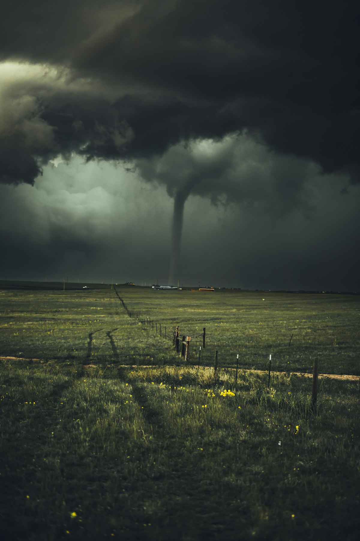
⚠️ WEATHER EMERGENCY — Active Through Tuesday, May 19
One of the most dangerous spring severe weather outbreaks in recent memory is now unfolding across a 1,000-mile stretch of the central United States. The National Weather Service (NWS) Storm Prediction Center has issued warnings placing more than 30 million Americans in the direct path of a multi-day storm system capable of producing powerful tornadoes, baseball-sized hail, and wind gusts exceeding 75 mph.
The threat spans from the Texas Panhandle through Kansas, Nebraska, Iowa, Missouri, and into northern Wisconsin — a corridor that includes major cities like Wichita, Omaha, Kansas City, Des Moines, and Minneapolis. The outbreak is expected to intensify dramatically this weekend, with the peak danger window falling Sunday afternoon through Monday evening.
🌪️ Day-by-Day Breakdown
Thursday, May 14 — The Opening Salvo
The severe weather event began Thursday as the stagnant Omega block weather pattern broke down, allowing a series of fast-moving storm systems to pour into the Plains. Severe thunderstorm watches were issued across north Texas, Oklahoma, and Kansas, with warnings associated with storms capable of minor structural damage. The National Weather Service recorded storm cells producing wind gusts and hail, setting the stage for what comes next.
Friday, May 16 — Risk Upgraded, Iowa Now in the Bullseye
The NWS Storm Prediction Center upgraded nearly all of Iowa from "Slight" to "Enhanced" risk — a significant jump that signals worsening conditions for a region home to more than 1.9 million people. The updated outlook now includes the possibility of tornadoes, in addition to the previously forecasted threats of very large hail and severe winds. Approximately 7 million Americans are at risk Friday, with central Kansas including Wichita under a Level 2 out of 5 threat.
A surface low pressure system is developing around western Kansas, with an associated dryline extending into Texas. Gulf moisture is being pumped northward by a high-pressure system, dramatically boosting atmospheric instability and creating ideal conditions for severe storm development — including supercell thunderstorms.
Saturday, May 17 — Supercells and Flash Flooding
A cold front is forecast to push eastward into the Missouri Valley Saturday, maintaining a Level 2 out of 5 threat from the Texas Panhandle through Nebraska, Iowa, and Missouri. Forecasters warn that supercell thunderstorms are expected to consolidate by Saturday evening, with all hazards on the table — including hail up to 3 inches in diameter, damaging wind gusts, and the chance of a strong tornado or two. A low-end flash flooding risk will develop across northern Missouri and Iowa as heavy rain accumulates.
Sunday, May 18 — PEAK DANGER: High Risk Issued
Sunday is the day forecasters are most concerned about. A powerful, high-amplitude trough anchors itself across the western U.S., while an intensifying area of low pressure drags a cold front from the Upper Midwest into the Southern Plains. This atmospheric setup is a recipe for a major tornado outbreak.
"The primary concern for Sunday afternoon and evening will be the development of discrete, long-lived supercells," the FOX Forecast Center warned. "These storms will be capable of producing monster hail, potentially exceeding 2 to 3 inches, along with a risk for tornadoes."
A Level 3 out of 5 (Enhanced) threat exists for portions of Nebraska and western Minnesota, with a broader Level 2 covering the Texas Panhandle through Minnesota.
Monday, May 19 — The Most Dangerous Day for Population Centers
Monday brings the widest and potentially most devastating phase of the outbreak. A HIGH RISK designation — the rarest and most serious category issued by NOAA — has been designated for parts of Kansas, Nebraska, and Iowa. More than 30 million Americans from Wisconsin through northern Texas will be in the path of storms stretching more than 1,000 miles.
Conditions on Monday are expected to include long-track tornadoes capable of significant destruction, winds exceeding 75 mph, and hail large enough to shatter car windows and destroy crops. Emergency management officials across the affected states are urging residents to have a severe weather plan in place and to monitor local NWS alerts continuously.
📍 States Most at Risk
- 🔴 HIGH RISK: Kansas, Nebraska, Iowa (Sunday–Monday)
- 🟠 ENHANCED RISK: Missouri, Minnesota, Wisconsin, South Dakota
- 🟡 SLIGHT RISK: Texas Panhandle, Oklahoma, Illinois, North Dakota
🚨 Expert Warnings
Extreme meteorologist Reed Timmer issued an urgent warning Thursday on social media: "MULTI-DAY TORNADO OUTBREAK POSSIBLE across the Central U.S. peaking Sunday-Monday! We have six days in a row of severe weather and tornado potential starting with a gorilla hail threat in central Kansas this evening, with the central and southern Plains to Upper Midwest having a full-blown tornado outbreak Saturday evening through Tuesday morning."
The NWS Storm Prediction Center added: "An active severe thunderstorm pattern is expected through early next week. Multiple days of severe storms are expected across portions of the Plains to the Mid/Upper Mississippi Valley starting today (Thursday 5/14) and persisting through Tuesday (5/19)."
May is historically the most active month for tornado activity in the United States, particularly across the central Plains and Midwest — the region at the heart of this outbreak. Illinois alone has already seen more than 100 tornadoes reported so far in 2026, far above the state's yearly average.
🏠 What You Should Do Right Now
- Know your shelter location — an interior room on the lowest floor of a sturdy building, away from windows
- Monitor local NWS alerts and have a battery-powered weather radio ready
- Have a go-bag prepared with water, medications, documents, and flashlights
- Do not shelter under an overpass — it provides no protection from tornado winds
- Sign up for your county's emergency alert system for real-time warnings
This is a developing weather situation. The New Dispensation will continue to update this story as conditions evolve.




Comments (0)
Be the first to share your thoughts!
Your voice matters. Every comment helps build our community.
Discussion Starters
No comments yet. Be the first to share your thoughts!